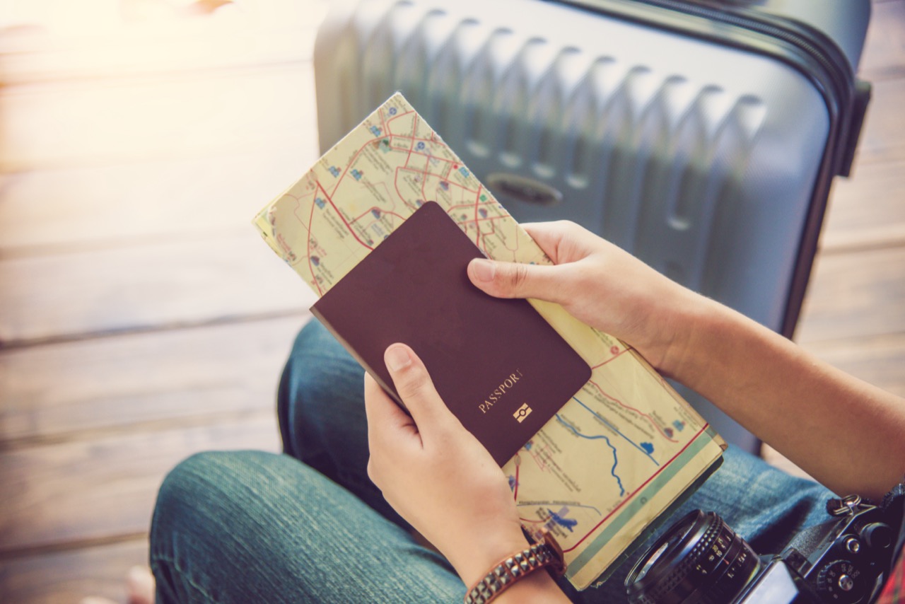
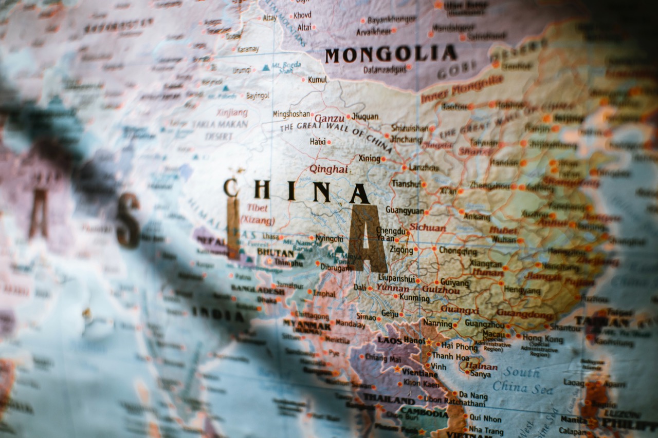
Map Rules and Border Rights Trivia

Maps may look calm and orderly, but the rules behind them can be anything but. This quiz explores the laws and regulations that shape geography in the real world: who owns the sea, how borders are drawn, what makes a treaty valid, and why rivers, islands, and even GPS signals can spark disputes. You will run into international agreements, court cases, and everyday regulations that affect travel, shipping, conservation, and national security. Some questions focus on big headline topics like maritime boundaries and Antarctica, while others zoom in on practical issues like place names, airspace, and mapping restrictions. No law degree required, just curiosity and a sharp sense of direction. Ready to see how geography turns into rules, rights, and responsibilities across the globe?
1
Which organization maintains the international standard for time zones and coordinates through the definition of Coordinated Universal Time (UTC) and related standards?

2
What is the typical maximum distance of the contiguous zone under UNCLOS, where a coastal state can enforce laws related to customs, immigration, fiscal matters, and sanitation?

3
What is the name of the international agreement that regulates cross-border movement of hazardous wastes and their disposal, affecting where waste can legally be shipped?

4
What is the name of the global framework agreement under the UN that guides international cooperation on climate change and is the parent treaty to the Paris Agreement?
5
Under UNCLOS, which maritime zone generally extends up to 200 nautical miles from a coastal state's baseline and grants sovereign rights over natural resources?

6
Which international body is widely recognized for standardizing place names and promoting consistent geographic naming practices through UN conferences and expert groups?

7
What principle in international law holds that newly independent states should generally inherit the pre-independence administrative borders they had at independence?

8
Which term describes the internationally recognized line from which a coastal state measures its maritime zones, often the low-water line along the coast?

9
Which international agreement is best known for protecting wetlands of international importance, influencing conservation zoning and land-use regulation?

10
Which treaty system sets aside Antarctica for peaceful purposes and scientific cooperation, while putting territorial sovereignty claims in abeyance?

11
What term describes the right of ships to pass through another state's territorial sea so long as they do not threaten peace, good order, or security?
12
In aviation law, what term describes the complete and exclusive sovereignty a state has over the airspace above its territory under the Chicago Convention framework?

13
In cartography and geospatial regulation, what does the acronym WGS 84 commonly refer to?

14
Which international court is the principal judicial organ of the United Nations and often hears disputes over borders and maritime delimitation?

15
What is the name of the rule that a state may pursue a foreign vessel from its territorial sea onto the high seas if the pursuit is continuous and began while the vessel was within jurisdiction?

16
Which legal concept refers to a state's acquisition of territory through the effective, continuous, and peaceful display of authority over it?
17
Which concept is most associated with drawing a boundary down the middle of a navigable river channel, often used in river borders?

18
In international boundary-making, what is the term for the legal description of a border in a treaty or written instrument?

19
What term refers to the physical marking of a border on the ground using pillars, fences, buoys, or other markers?

20
Under the United Nations Convention on the Law of the Sea (UNCLOS), what is the maximum breadth of a coastal state's territorial sea measured from its baseline?

0
out of 20