Street Smart Geography Quiz for Daily Life

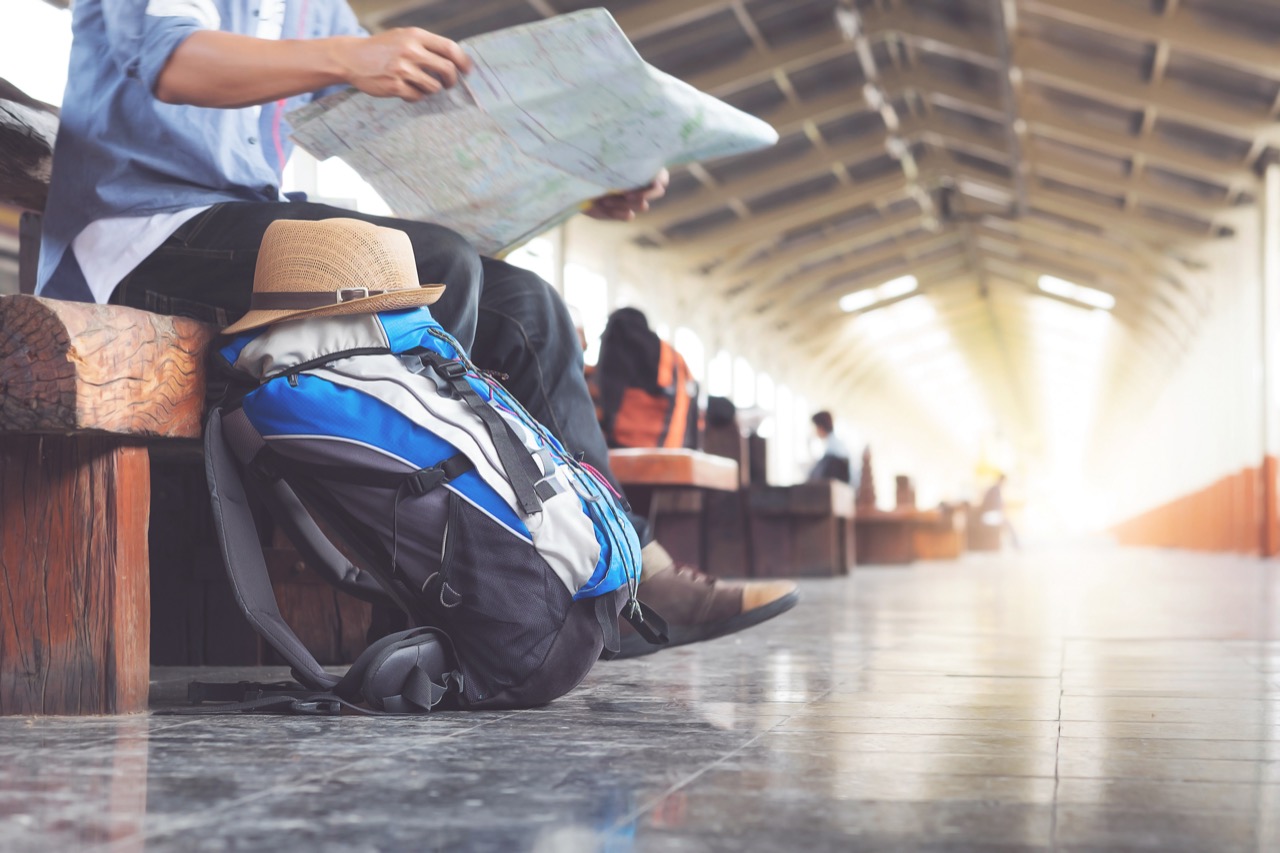
Maps are great, but geography shows up in your day even when you are not thinking about it. This quiz turns everyday moments into quick geography puzzles: why time changes on a road trip, what your weather app is really measuring, and how phones know where you are. You will run into practical ideas like latitude and longitude, time zones, elevation, and the difference between climate and weather. Some questions connect to shopping and shipping, like barcodes, container ports, and why some products are seasonal. Others tap into travel basics, from reading airport codes to understanding why jet lag happens. Nothing here requires memorizing obscure capitals. Instead, it is the kind of geography that helps you navigate, plan, and make sense of the world around you, one normal day at a time. Ready to see how much geography you already use?
1
When a weather app shows wind direction as 'NW wind,' what does that mean?

2
What does 'elevation' mean on a hiking trail sign or map?
3
Why does your phone’s map app sometimes show your location drifting when you are indoors?

4
What does 'local sunrise is earlier' usually indicate about a place compared with another place in the same time zone?

5
On a typical road map, what do contour lines represent?

6
Why do some world maps make Greenland look nearly as large as Africa?

7
What is the main geographic factor that explains why seasons are opposite in Australia and the United States?

8
What is the main reason time zones exist?

9
What does 'upstream' mean when you read it in a flood warning or river report?

10
What is a common everyday use of the Prime Meridian (0° longitude)?

11
Which feature most often creates a rain shadow that makes one side of a region much drier?

12
What do the coordinates 40°N, 74°W describe in everyday navigation?

13
Which direction does a compass point when it indicates north?

14
In everyday shipping and logistics, what does an airport code like LAX or JFK represent?

15
Why are coastal cities often cooler in summer than inland cities at the same latitude?

16
Which term describes the difference between daily conditions and long-term patterns in a place?
17
If you travel east and cross several time zones, what typically happens to your local clock time?
18
What is the main geographic reason temperatures generally decrease as you go higher up a mountain?
19
What is the main reason airplanes often fly curved paths on world maps when traveling long distances?

20
Why can two cities at the same latitude have very different climates?

0
out of 20