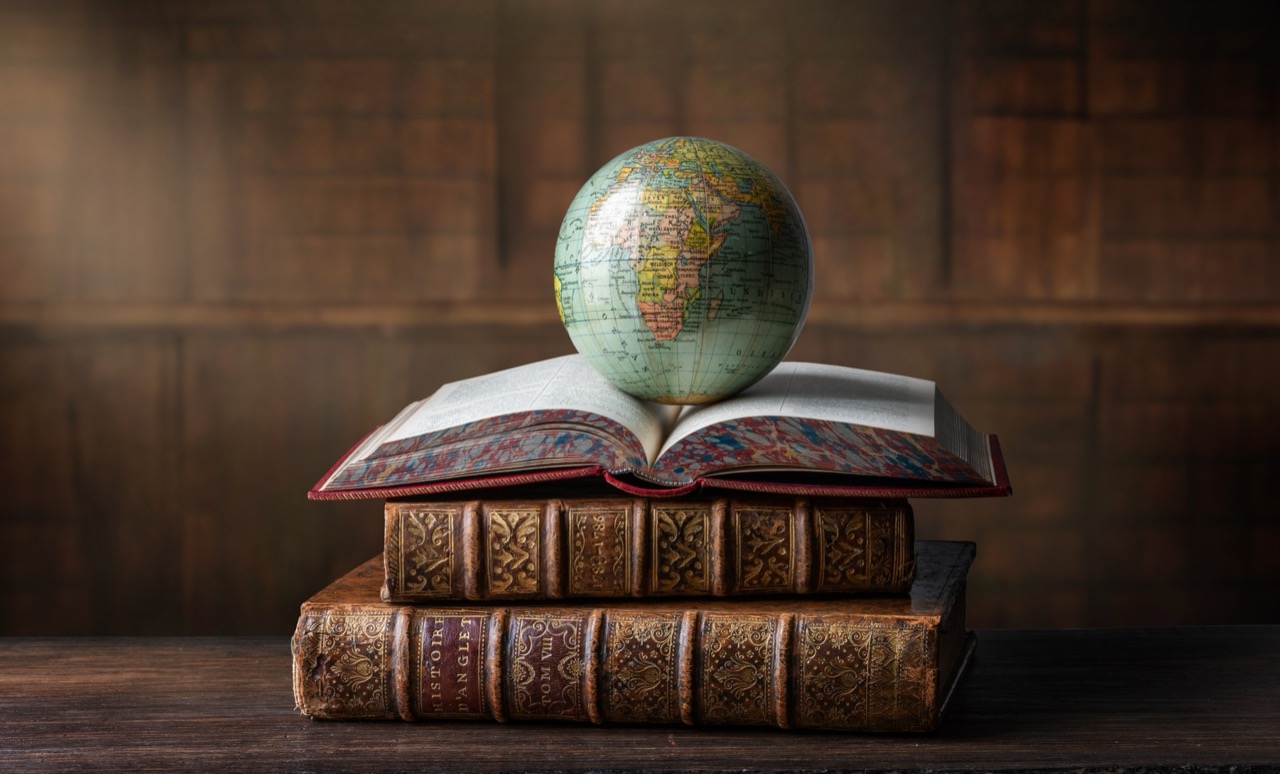
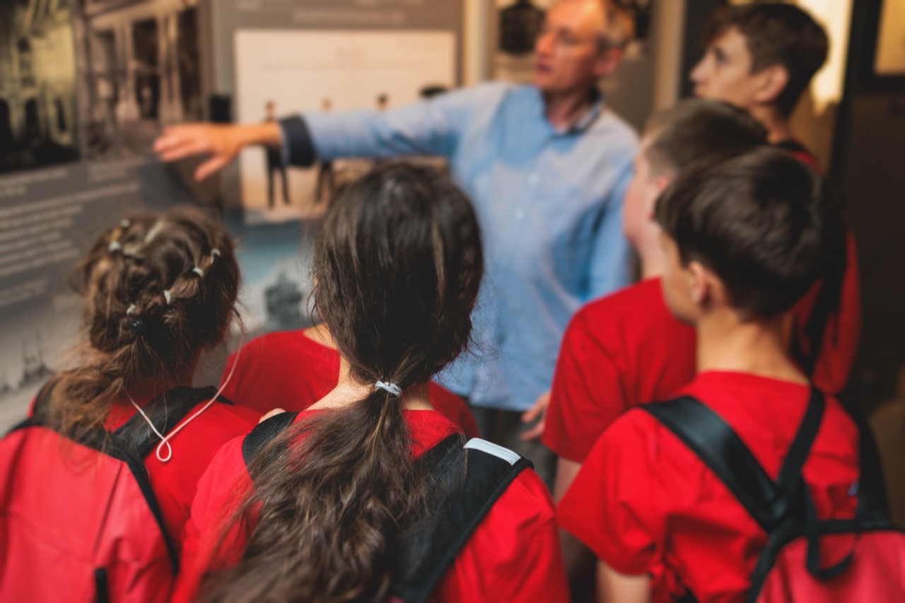
Cartography Time Travel Across Famous Places


Quiz Complete!
Cartography Time Travel Across Famous Places

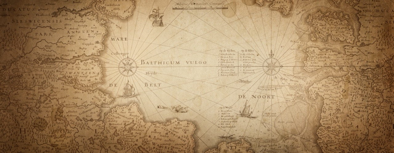
A map is often treated as a neutral tool, but every map is also a story about what mattered at the time it was made. Borders, city names, coastlines, and even blank spaces reflect power, trade, curiosity, and sometimes wishful thinking. When you jump between eras, famous places can feel like time machines: the same hill, strait, or river can mean something completely different depending on who is drawing it and why.
Consider Byzantium, a name that immediately signals a layered past. The city began as Byzantion, became Constantinople when it was remade as the capital of the Roman Empire in the east, and is now Istanbul. Each name marks a shift in political gravity and cultural identity. Maps from different centuries do not just label the city differently; they often center the world differently around it. Medieval European maps might emphasize religious geography, while Ottoman-era maps highlight imperial routes and administrative regions. A single place name can tell you which empire set the terms of navigation and which language dominated diplomacy.
Trade routes are another way maps capture historical momentum. The Silk Road was never one road but a network of paths linking East Asia, Central Asia, the Middle East, and Europe. On a modern map it can look like a tidy line, but in reality it shifted with seasons, security, and the rise and fall of cities. Oases, mountain passes, and river valleys mattered more than straight distances. When a caravan city prospered, mapmakers paid attention; when it declined, it faded into the margins. This is why legendary destinations like Timbuktu became symbols larger than their physical footprint. Timbuktu’s fame grew from its position at the meeting point of trans-Saharan trade and Islamic scholarship, where manuscripts and ideas traveled alongside salt and gold. For European mapmakers who had never been there, the name became a magnet for speculation, sometimes placed inaccurately but always treated as significant.
Strategic chokepoints reveal how geography can decide politics. Narrow waterways such as the Bosporus or the Strait of Gibraltar are not just scenic; they control maritime movement, taxation, and military access. Empires invested heavily in forts and fleets around these passages because a small stretch of water could shape the fate of entire regions. Rivers play a similar role. The Nile supported dense settlement and centralized rule, while the Danube often marked frontiers between rival powers. Old maps frequently exaggerate rivers or draw them with confident precision because water routes were the highways of their day.
Cartography is also tied to institutions that preserved and organized knowledge. Great libraries and academies, from ancient centers of learning to later universities and observatories, influenced what mapmakers believed was true. When scholars compiled travelers’ reports, astronomical measurements, and coastal surveys, the world became more measurable. Yet even scientific advances arrived unevenly. You can see it in the way some coastlines become accurate long before interiors do, or how islands appear and disappear as rumors harden into “facts” and then get corrected.
Former place names and changing borders can be the trickiest part of historical geography. A name like Persia points to a long cultural continuum, even as the state’s boundaries and official terms changed. The same applies to regions whose modern borders are recent, drawn after wars, treaties, and decolonization. A good mental atlas learns to separate physical geography, which changes slowly, from political geography, which can change overnight. Mountains, deserts, and straits endure; capitals move, provinces split, and names shift with language and authority.
Thinking like a cartographer across time means asking a few simple questions. Who made the map, for whom, and for what purpose? Which places are enlarged, richly labeled, or placed at the center? What routes are highlighted, and what is left vague? When you connect a location to the era that made it famous, you start to see maps not as static diagrams, but as living records of exploration, ambition, belief, and discovery.