Latitude Legends Science Places You Should Know


Quiz Complete!
Latitude Legends: Science Places That Put Earth on the Map

Some of the most important scientific breakthroughs did not happen in abstract equations or sealed laboratories. They happened in places with wind, dust, tides, and rock underfoot, where the planet reveals its rules. Knowing a few of these locations is like having a shortcut to Earth science, because each one is a living demonstration of how our world works.
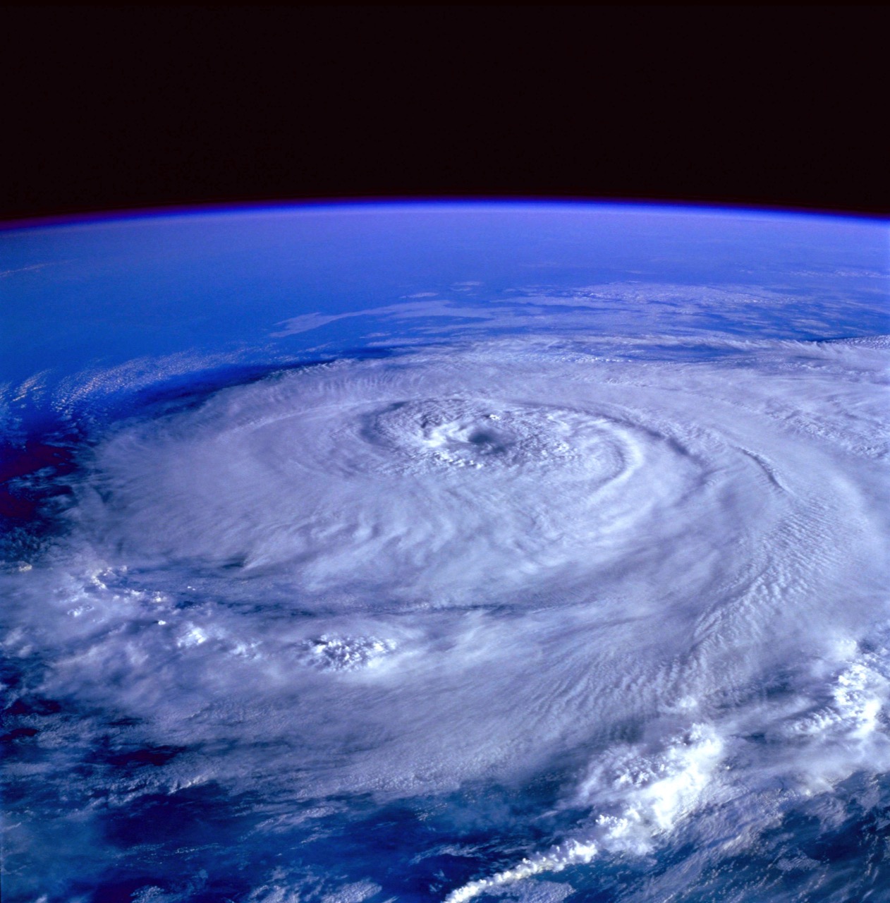
Start with the invisible grid that helps us navigate: latitude and longitude. The Prime Meridian runs through the Royal Observatory in Greenwich, London, a reminder that mapping is a scientific achievement as much as a practical one. Longitude was once a life-or-death problem for sailors, solved through accurate timekeeping, because Earth rotates 360 degrees in 24 hours. Far from Greenwich, the equator becomes more than a line on a globe at places like Quito, Ecuador, where the Sun can stand almost directly overhead and day length barely changes through the year. These reference lines also matter for climate. The tropics receive more direct sunlight, while higher latitudes experience stronger seasons, shaping ecosystems and weather patterns.
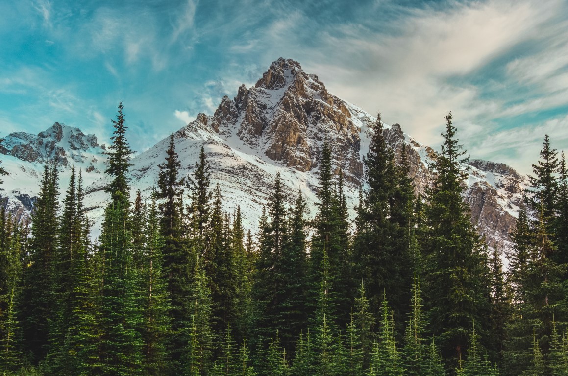
If you want to see geology in action, volcanoes are the obvious classroom. Hawaii’s Mauna Loa and Kilauea have helped scientists understand hot spots and how basaltic lava flows build islands over time. Iceland, perched on the Mid-Atlantic Ridge, is another standout because it exposes a plate boundary above sea level. You can literally walk between tectonic plates in places like Thingvellir, watching Earth’s crust pull apart. For a different kind of drama, Mount St. Helens in the United States became a landmark after its 1980 eruption, offering decades of data on how landscapes recover and how ecosystems restart after catastrophe.
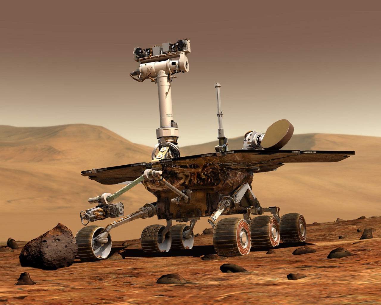
Deserts tell climate stories written in sand and stone. The Atacama Desert in Chile is among the driest places on Earth, so dry that parts resemble Mars. Researchers test instruments there for planetary missions and study microbes that survive with almost no water. Antarctica’s McMurdo Dry Valleys push the idea further, combining extreme cold and aridity, and helping scientists understand how life can persist at the edge of habitability.
The oceans have their own legendary science sites. The Great Barrier Reef off Australia is not only the world’s largest coral reef system, but also a sensitive indicator of ocean warming and acidification. In the Pacific, the Mariana Trench represents the deepest known part of the ocean, where pressure is crushing and yet life still exists, reshaping our assumptions about biology. Closer to shore, the Galapagos Islands show evolution in real time, where isolation and varied habitats helped inspire the theory of natural selection.
Rivers and ice also carry global clues. The Nile and the Amazon demonstrate how drainage basins shape human history and biodiversity, while places like Greenland’s ice sheet and Antarctica’s glaciers record past climates in layered ice. By drilling ice cores, scientists read ancient atmospheres like a timeline, measuring greenhouse gases and temperature proxies going back hundreds of thousands of years.
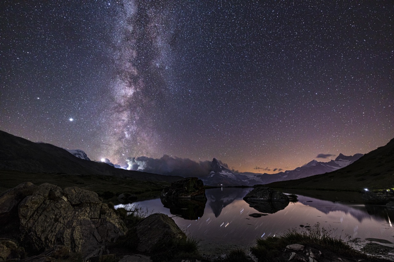
Astronomy has its own map of special places on Earth. High, dry sites such as Mauna Kea in Hawaii and Chile’s Atacama mountaintops offer clear skies for powerful telescopes. These observatories show that even when studying distant galaxies, the location of the instrument matters, because Earth’s atmosphere and moisture can blur the view.
Taken together, these places prove that science is not just a body of knowledge. It is a set of stories anchored to real coordinates. When you can point to a volcano, a reef, a desert, or a meridian on a map and explain why it matters, you are not just remembering trivia. You are connecting the planet’s geography to the discoveries that explain it.
-287005.jpg)